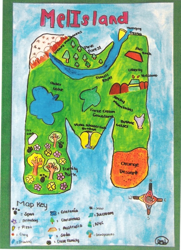
In this lesson, students use the geography skills they have developed to create a map and related materials for an imaginary country. Before beginning the lesson, we will collect a variety of maps that students will be familiar with and use an interactive smart board lesson to learn about the different continents. The students will be arranged into small groups, and each group will be challenged to look over a variety of maps and make a list of the elements that comprise those maps. Students lists will begin with elements such as countries, capitals, boundaries. Then we will gather as a class to share lists and make a class list of map elements.The students then are going to create a country of their own! The first thing they need to do is create a map of the new country, and they will have a graphic organizer to follow throughout the project.
Click Here to access the lesson plan for Project Fifteen.
No comments:
Post a Comment